

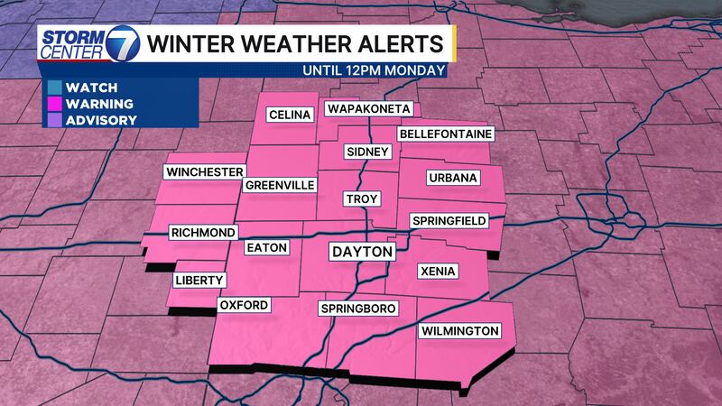
DAYTON, OH — A Winter Storm Warning is in effect now for the entire region until noon on Monday.
-INITIAL STORY
It has been a long time since the Miami Valley has seen snow like we’re about to see this weekend.

Between tonight and Sunday night, widespread totals of 10-15 inches of snow are likely, and some areas may even exceed 15 inches.

The last time Dayton saw around 15 inches of snow at one time was back in March of 2008.
[DOWNLOAD: Free Storm Center 7 Weather app for alerts as news breaks]
This snowstorm will likely rival some of the benchmark storms, such as the Blizzard of 1978.
If we see at least 12.5″ of snow in Dayton, this snowstorm will be a Top 5 all-time snowfall for the region.
[WATCH Storm Center 7 Weather on the following devices]
Extreme cold is set to follow.
We will have highs in the teens and lows at or below zero through at least next Saturday.
©2026 Cox Media Group